There are 5 nearby trails:
Woods Creek trail goes through the W&L campus
Back Campus trail is on the W&L campus.
Chessie Trail is a rail trail 2 miles from downtown.
Boxerwood nature center is also 2 miles from downtown.
Brushy Hill is the most rugged, and is 4 miles from downtown.
Details and Maps for each trail follow.
Woods Creek Trail in Town & Back Campus Trail
The 2 mile long Woods Creek Trail is perfect for a leisurely stroll and if you are already parked downtown, you can walk to it. No hiking boots needed. It does not loop, you’ll have to walk back the way you came or meander through the neighborhoods.
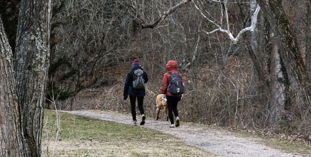

Walk west on Nelson Street (towards W&L) and when you see the W&L parking structure on your right, there will be stairs leading down to the trail immediately across E. Denny Circle.
If you are on W&L campus, simply head down the steep steps on the north side of the library. You’ll be catching the trail at the approximate mid-point. To the right (north) the trail leads through the VMI campus to Jordan’s Point. To the left (south) it leads along a mostly wooded trail to Waddell Elementary School @ Ross Road.
The Back Campus trail is near the W&L tennis center. It heads down hill and wanders a bit, passing along the Maury River. What goes down must go up, but the well groomed trails mitigate the pain. Park near the tennis center. Download a trail map.


Chessie Trail, Old Railroad Route

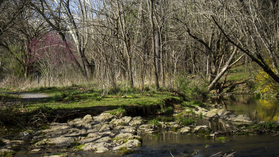
The Chessie Trail lies along the right of way formerly occupied by the C& O rail tracks that connected Lexington with the main line near Buena Vista. The trail is a very flat 7 miles.
The Chessie Trail parking area is signed and is about a 5 minute drive from downtown. From town, go north on Main Street (rte 11 business). In a mile, it connects with Rte 11 north crossing the Maury River. Take the first right after the bridge onto Old Buena Vista Rd. Within a mile you pass old small industrial bldgs and turn right into the parking lot, immediately after large PURE sign.
The pedestrian bridge over the South River (about 5 miles from the trail head shown here) was washed out; you’ll need to walk along the road to continue to the terminus in Buena Vista. Background info on Chessie Trail
Detailed Chessie Trail Map
You may encounter cattle if you walk the segment near Buena Vista (other side of the washed out bridge if you’re coming from Lexington).


Boxerwood Nature Center & Woodland Garden


This treasure is located just outside Lexington, Virginia. The garden is open every day of the week during daylight hours. Visiting the garden is free, but there is a $5 parking fee which is waived for members.
Fifteen acres feature both native and unusual plant specimens from wetlands to forests to fields. Great place to take children to enjoy “The Play Trail”. Only 2 miles from downtown Lexington at 963 Ross Road. More info.
Brushy Hill Preserve
Six miles of old logging roads. Kiosk with map at trail head. Variation in topography, vegetation and many bird species.
Directions
From Downtown Lexington, follow Jackson Avenue south and turn right onto Ross Road. Take Ross Road to Union Run Road. Make a sharp right onto Union Run, parking at the old springhouse, about 1/4 mile after Union Run Road turns to gravel.
